Kauaʻi, Hawaii

Kauaʻi is the northernmost of Hawaii’s eight main islands, located in the central Pacific Ocean. It is known for its lush rainforests, dramatic cliffs, and rugged coastline.

Explore by Key Regions Where-to-Stay Ideas
Home » Destinations » North America » Kauai, HI

Kauaʻi, Hawaii
The Garden Isle

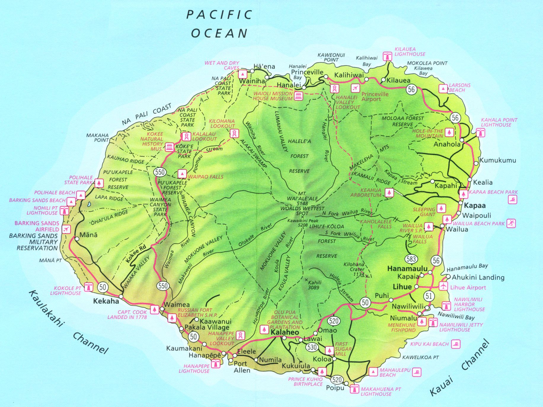
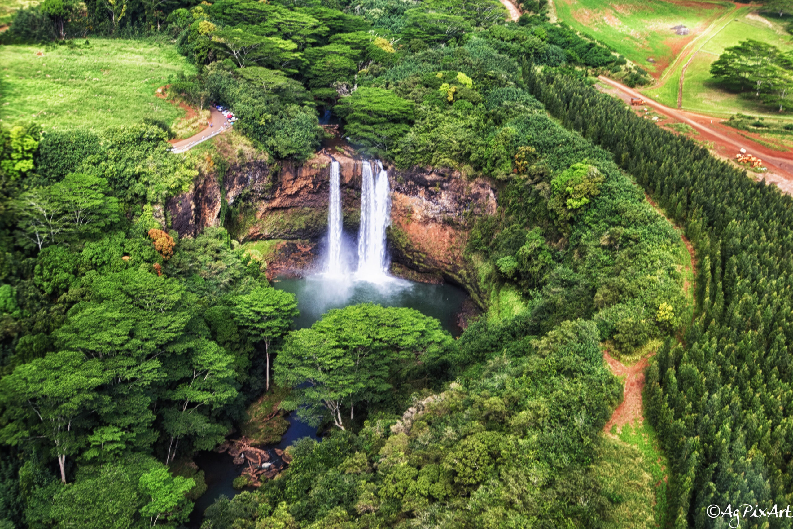
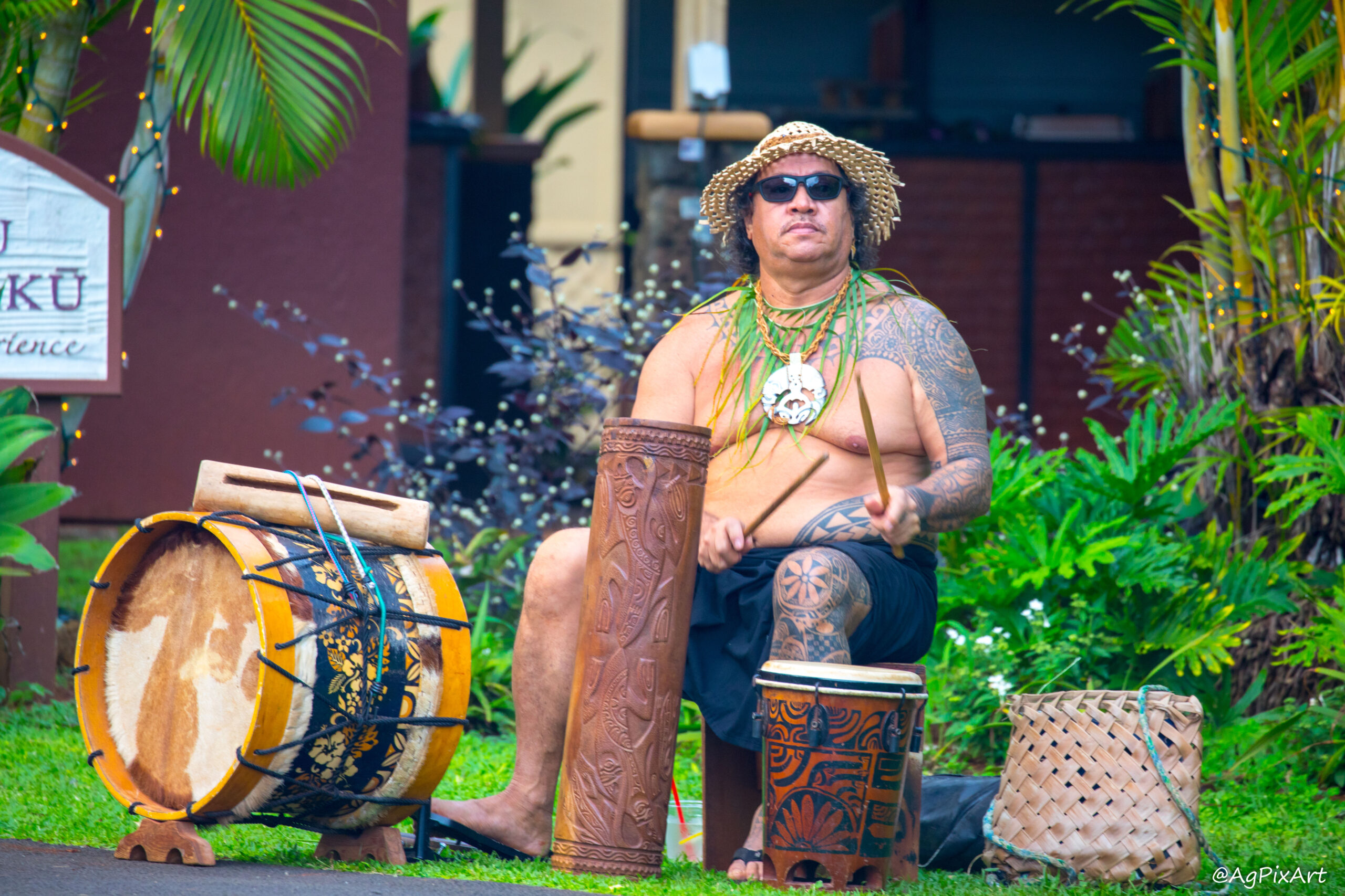
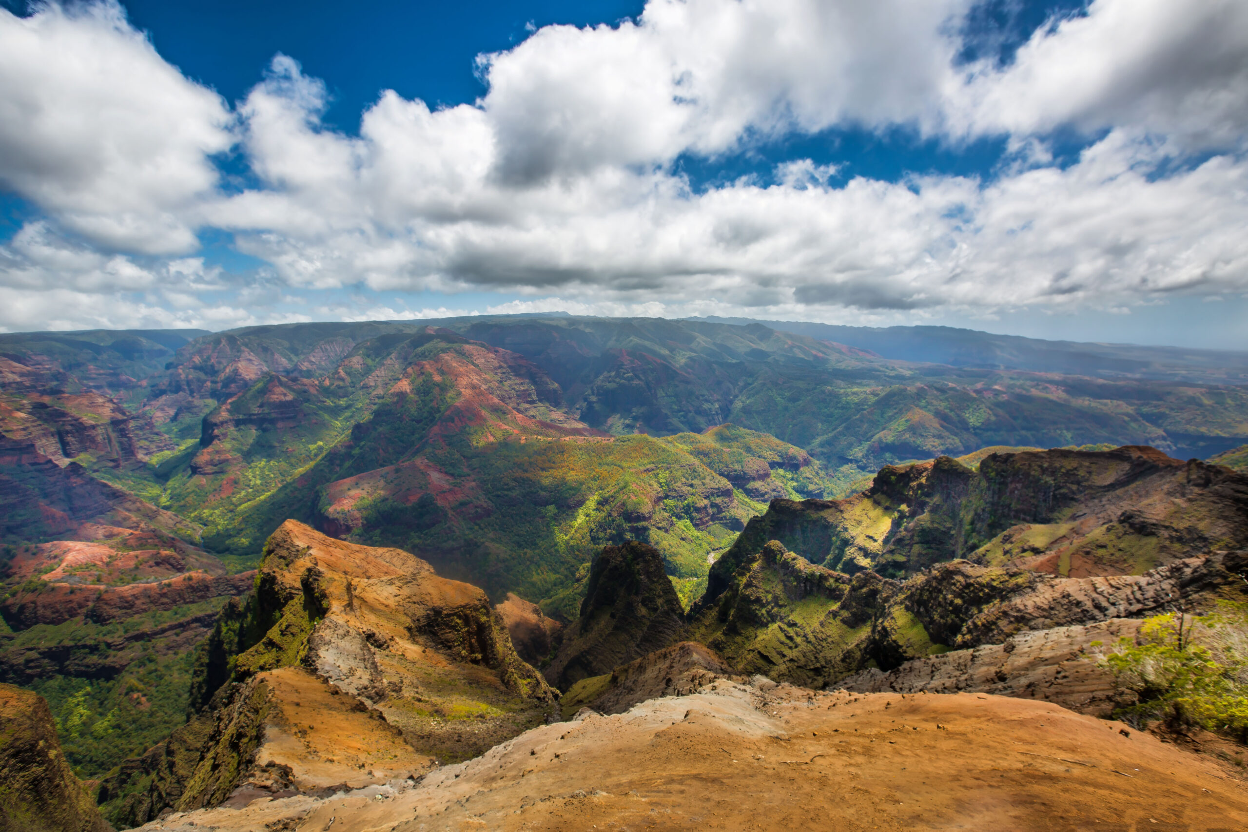
Kauaʻi, the northernmost of Hawaii’s main islands, is part of the Hawaiian archipelago, formed by volcanic activity over millions of years. As the oldest major island, its dramatic landscape, shaped by relentless erosion, features the rugged Nā Pali Coast and the awe-inspiring Waimea Canyon, dubbed the “Grand Canyon of the Pacific.” Spanning roughly 552 square miles and home to approximately 73,000 residents, Kauaʻi boasts a pristine, largely untouched environment, with 90% of its land undeveloped. At its heart lies Mount Waiʻaleʻale, one of the planet’s wettest locations, receiving around 450 inches of rain annually, nurturing lush rainforests, cascading waterfalls like Wailua Falls, and vital rivers such as the Wailua and Hanalei. The island’s 43 beaches and verdant ecosystems complement its rich cultural tapestry, woven with Hawaiian traditions, sacred heiau (temples), and ancient petroglyphs along the Wailua River. Kauaʻi also resonates with legends of the Menehune, mythical diminutive architects of the island’s storied past.


Kauaʻi, HI

TidBits Tabs – Know Before Trip

(click on the tab to open/close)

  • Location: The northernmost of Hawaii’s eight main islands, located in the central Pacific Ocean.
  • Time Zone: The Hawaii Standard Time (HST) zone, which is UTC-10:00. It’s one of the furthest time zones behind Coordinated Universal Time (UTC) and does not observe Daylight Saving Time (DST).
  • Weather Prep: Pack for rain (especially north shore) and sun. Trails can be muddy; sturdy shoes are a must.
  • Language: Official language is English.
  • Currency: The U.S. Dollar (USD).
  • Electricity: 120 volts (AC) at a frequency of 60 Hz. Plug Types: Type A (two flat pins) and Type B (two flat pins plus a grounding pin). Universal Travel Adapter.
  • Getting Around: Renting a car is essential; Kauaʻi’s single main road (Hwy 56/50) loops three-quarters of the island but doesn’t fully connect due to the impassable Nā Pali Coast. Expect 1–2 hour drives between major areas (e.g., Līhuʻe to Hanalei: 45 min to ~1 hr). Traffic can snarl in Kapaʻa during peak hours.
  • Main International Airport: Līhuʻe Airport (LIH).

Pre-Contact (Before 1778) – Kauai is inhabited by Native Hawaiians with a rich culture of farming, fishing, and oral traditions. The island is ruled by aliʻi (chiefs) under a complex social system.
1778 – Captain James Cook lands at Waimea, marking the first European contact with Kauai.
1810 -Kauai joins the Kingdom of Hawaii under King Kamehameha I, unifying the islands after resistance from Kauai’s King Kaumualiʻi.
1816-1817 – Russian Fort Elizabeth built by Georg Anton Schäffer in Waimea, a brief attempt at Russian influence, abandoned by 1817.
1820s – Missionaries arrive, introducing Christianity and literacy, influencing Hawaiian culture.
1835 – First sugar plantation established at Koloa, marking the start of Kauai’s plantation era.
Late 1800s – Sugar industry dominates, bringing immigrant workers from Asia and elsewhere, shaping Kauai’s multicultural population.
1893-1898 – Overthrow of the Hawaiian monarchy impacts Kauai; Hawaii becomes a U.S. territory in 1898.

1941 – World War II brings military presence to Kauai, with bases and economic shifts.
1959 – Hawaii becomes the 50th U.S. state, with Kauai as part of Kauai County, which includes the islands of Niʻihau, Lehua, and Kaʻula.
Late 20th Century – Tourism grows, with Kauai’s natural beauty (Na Pali Coast, Waimea Canyon) attracting visitors; sugar industry declines.
1992 – Hurricane Iniki devastates Kauai, causing widespread rebuilding efforts.
Present – Kauai remains a tourism hub, emphasizing eco-tourism, agriculture (taro, coffee), and preservation of Native Hawaiian culture.

  • Iconic Dish: Poi, a thick, pudding-like paste made from mashed taro root (kalo), one of the original 24–30 “canoe plants” (also called Polynesian introductions) that the first Polynesian voyagers deliberately brought to the Hawaiian Islands. It’s a cultural touchstone, frequently served alongside other dishes like lāulau or kālua pig at traditional meals.
  • Why is Kalo Sacred?: It’s the staff of life for Native Hawaiians, the main source of food (made into poi). In Hawaiian mythology, kalo is the older brother of mankind. The god Wakea and goddess Papa had a child named Hāloa who was stillborn and buried. From his grave grew the first kalo plant. Their second son (human) was also named Hāloa, so Hawaiians treat kalo with deep respect as family. It’s considered the greatest of all “canoe plants” and represents life, abundance, and connection to ancestors.
  • Chickens Rule the Roost: Kauaʻi is famous for its wild chickens, descendants of escaped domestic fowl, possibly freed during hurricanes in the 1980s and 1990s. They roam freely, from beaches to parking lots, and are a quirky part of island life.
  • Film Locations: Kauaʻi’s scenery starred in Jurassic Park, Pirates of the Caribbean, and The Descendants.
  • Green Sea Turtle (Honu): Commonly seen around Kauaʻi’s shores, these turtles are herbivorous as adults, feeding on seagrass and algae. They can grow up to 4 feet long and weigh 300-400 pounds. In Hawaiian mythology, the honu is a revered creature, sometimes linked to the legend of Kailua, a turtle who guided Polynesian voyagers to Hawaii.
  • Rare Coral Reef: Kauaʻi’s south shore is home to one of the longest fringing coral reefs in Hawaii, stretching along Poʻipū Beach.
  • Book: ‘The Kauai Underground Guide’ by Lenore W. Horowitz (later editions co-authored with Mirah A. Horowitz) is a beloved, long-running classic for exploring Kauai—often called the “bible” for the island. It dives deep into the best beaches (including hidden gems like those we’ve chatted about on the North Shore), secret spots, adventures, hikes, tours, and activities—often with candid warnings about dangers (like strong currents at places like Lumahai or Queen’s Bath).
  • Book WWW: Check explorekauai.com (the authors’ site) for any digital options or updates—some older editions were even offered as free downloads with suggested donations to charities.
  • Surf Forecast: Check the surfing conditions in Kauai at https://www.surf-forecast.com/. It also gives you an idea of when and where the waves are gentler for swimming, snorkeling or ideal for bodyboarding.

Instructions for proofing and comments:

Left-click on the photo to access options for title information (i), leave comment, or mark the photo(s) as the favorite. The option to submit the selected as favorite photos is under “Submit proofs” button under photo gallery.


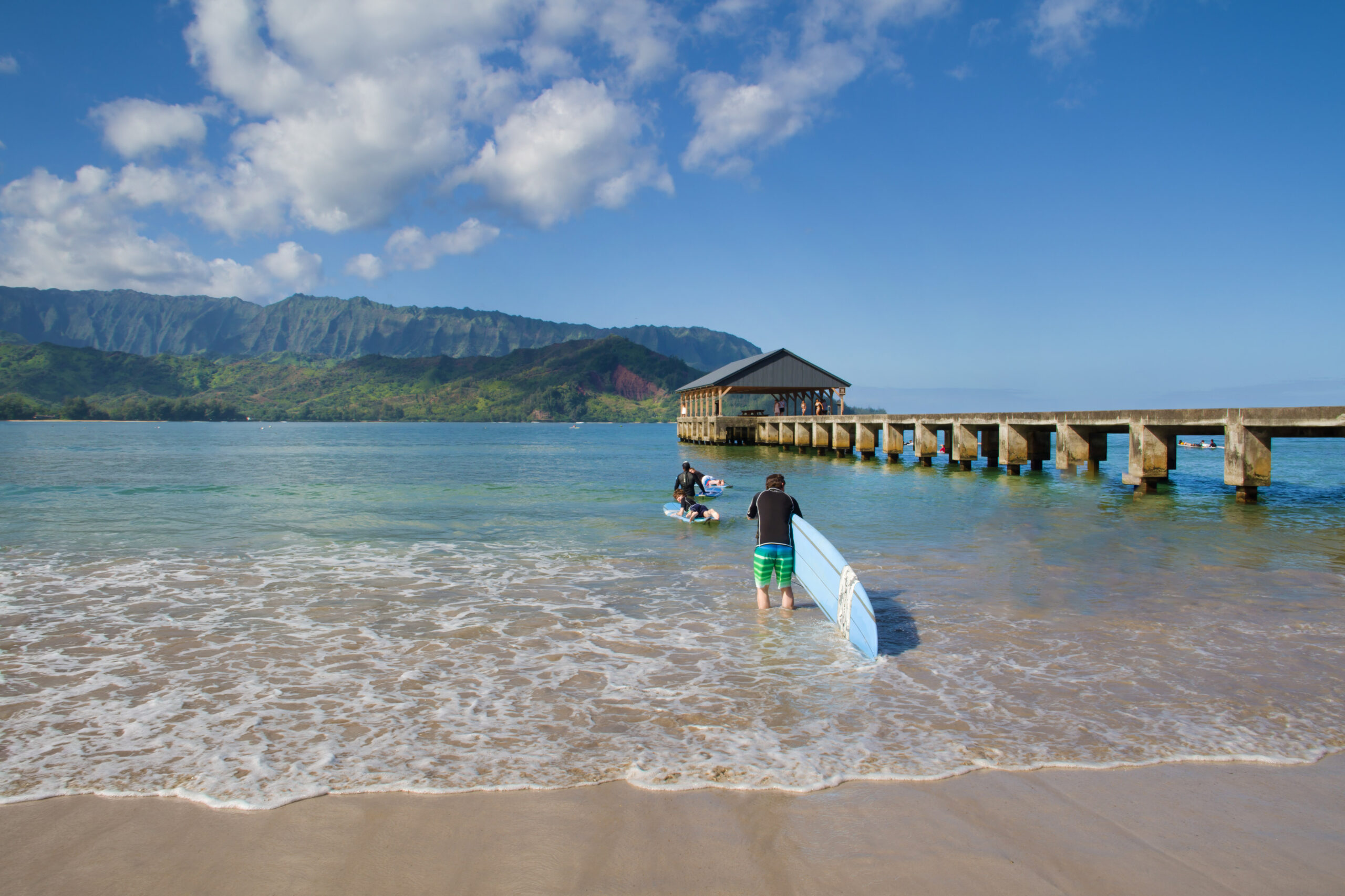
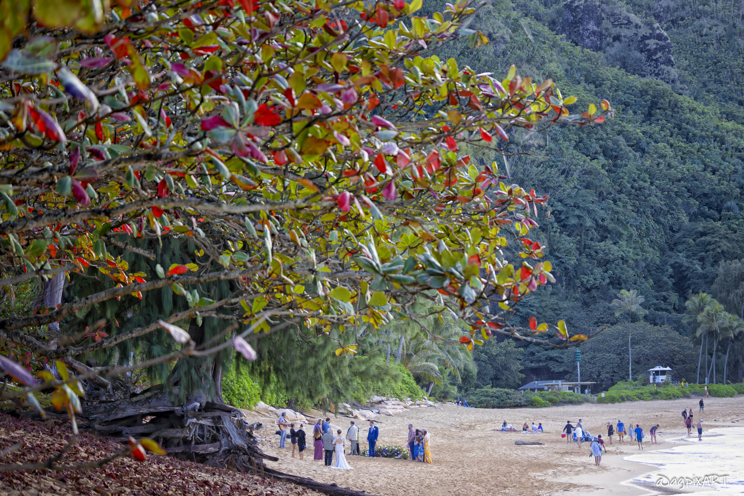
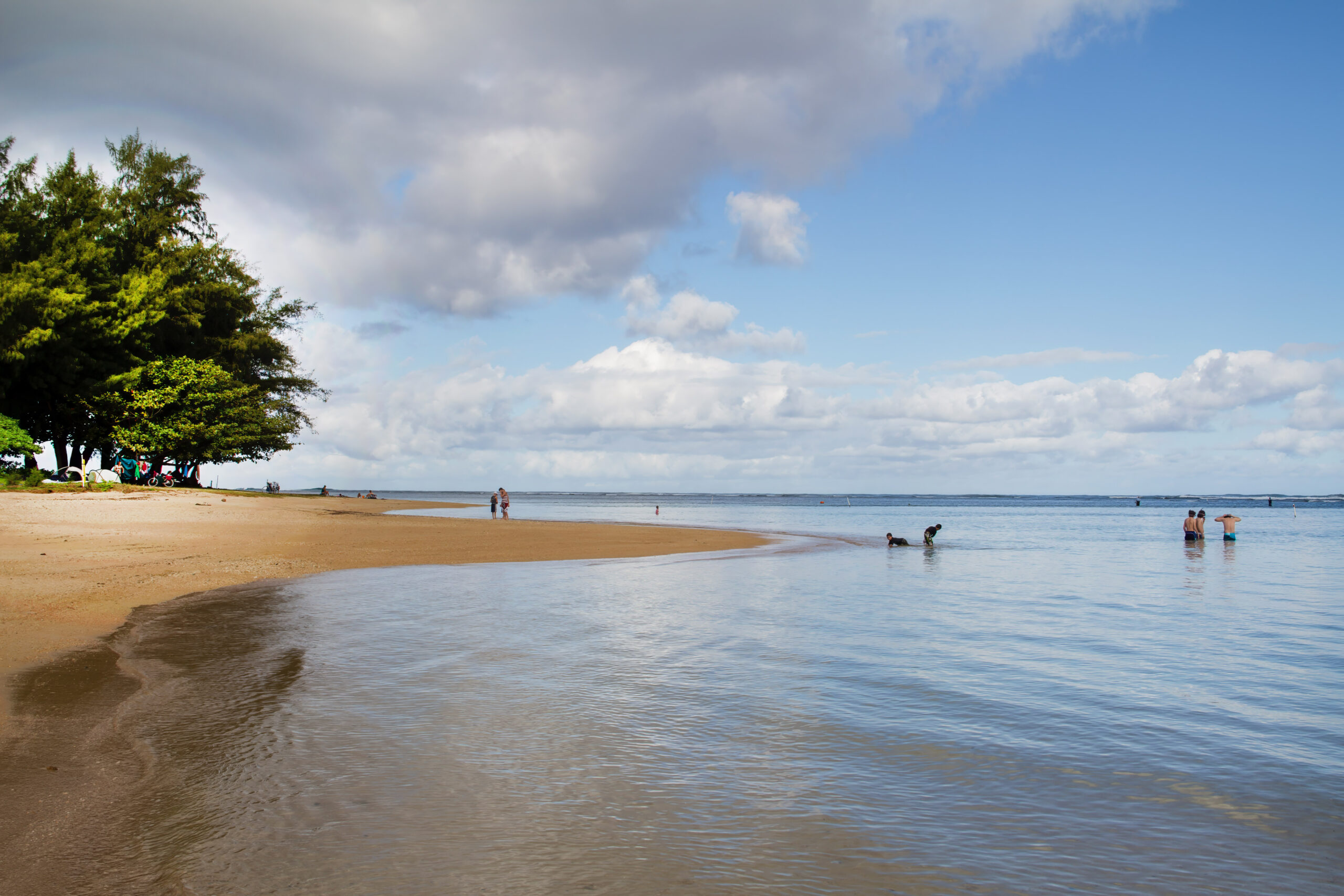
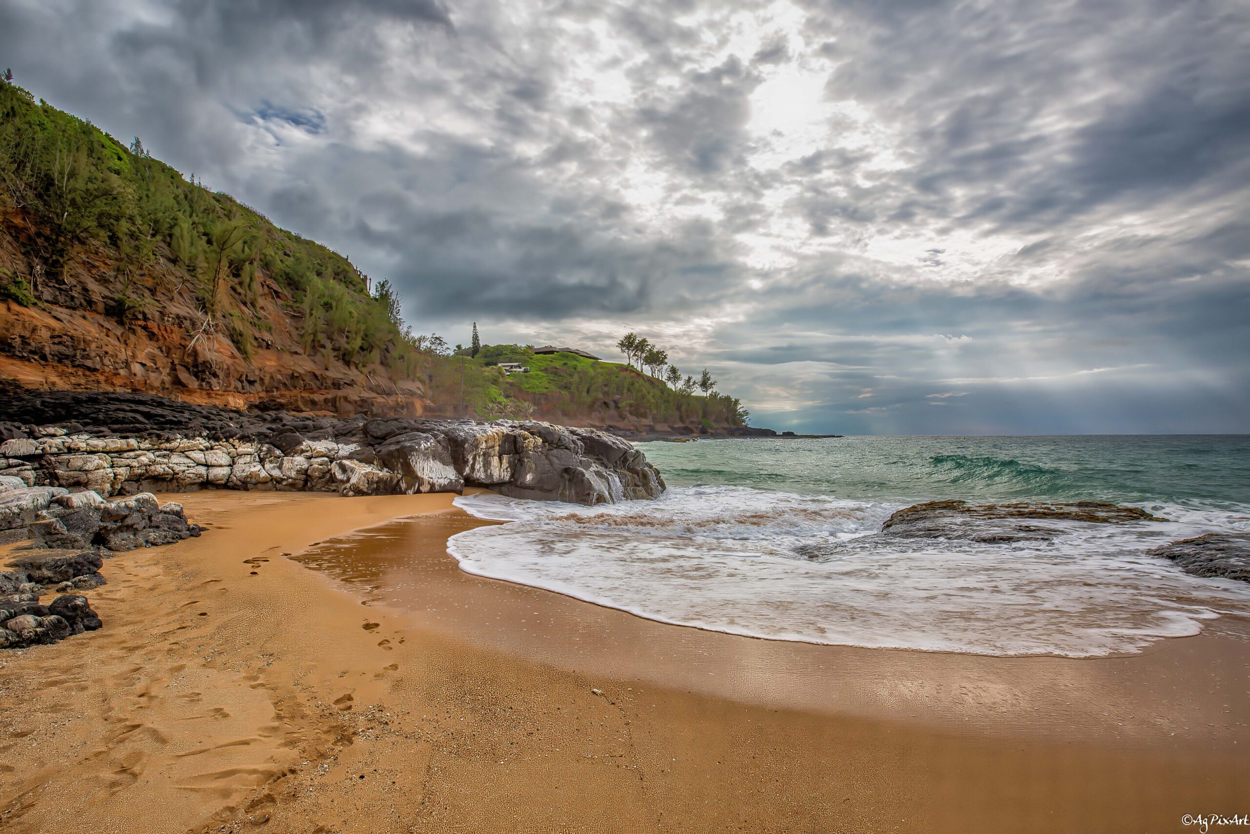
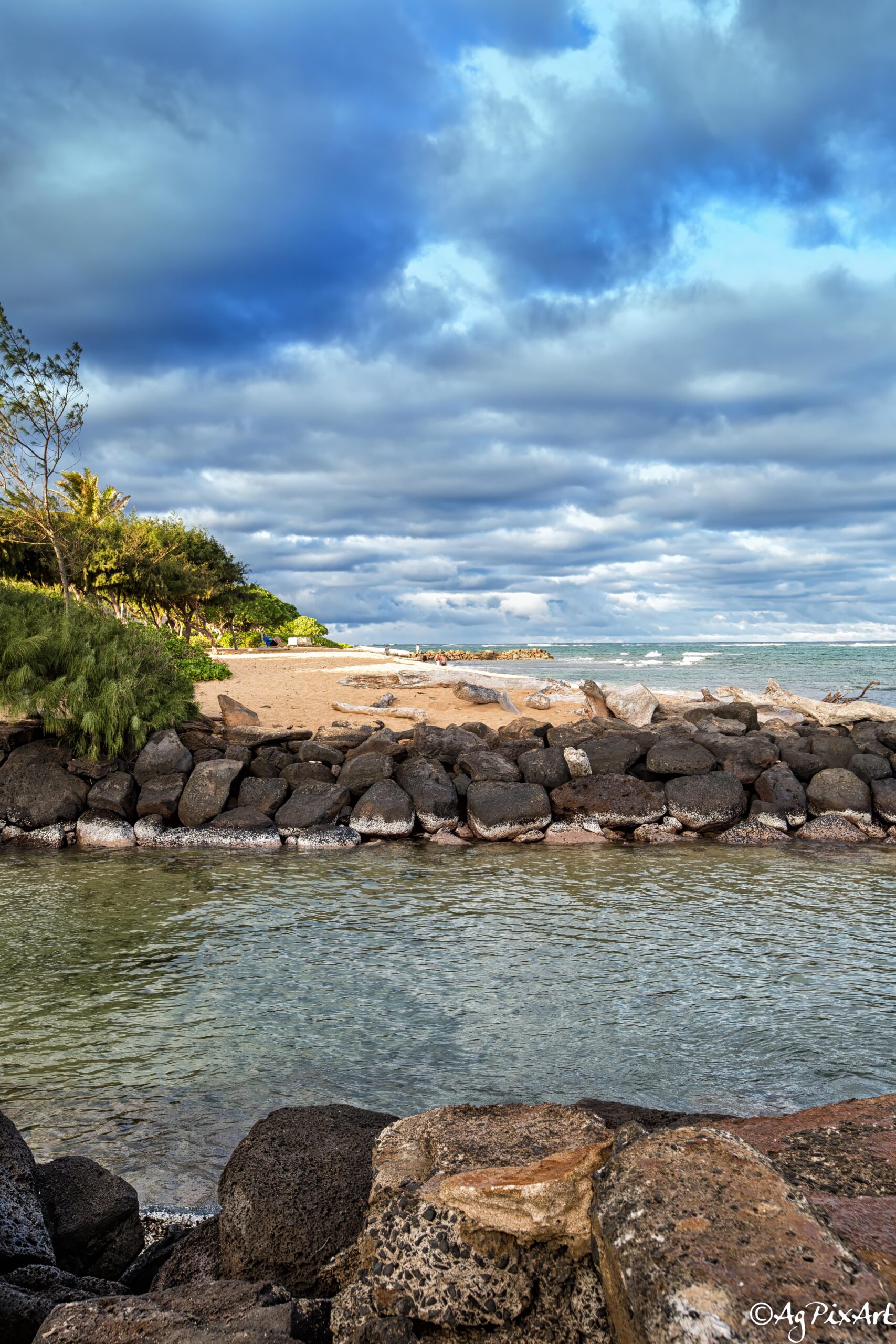
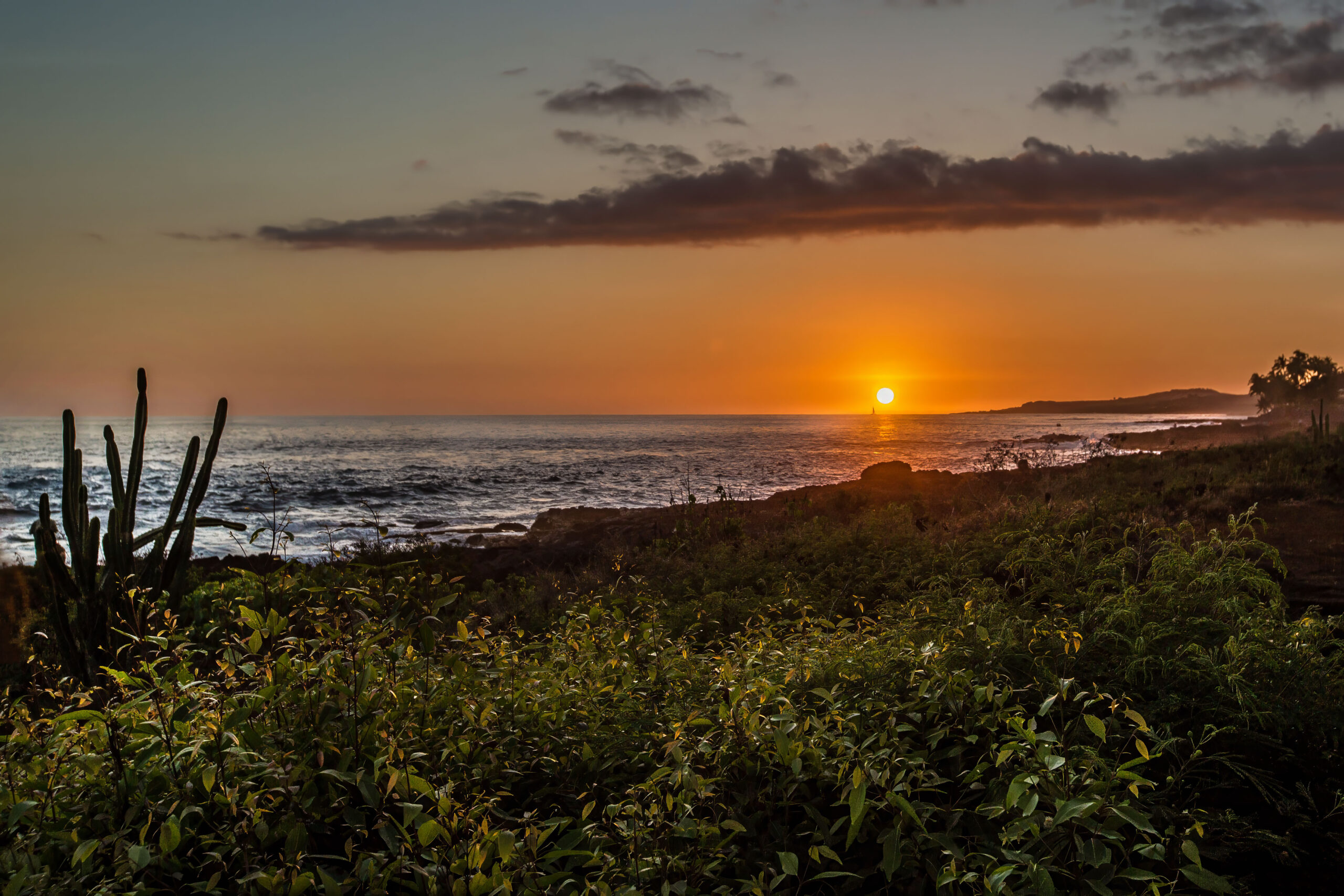
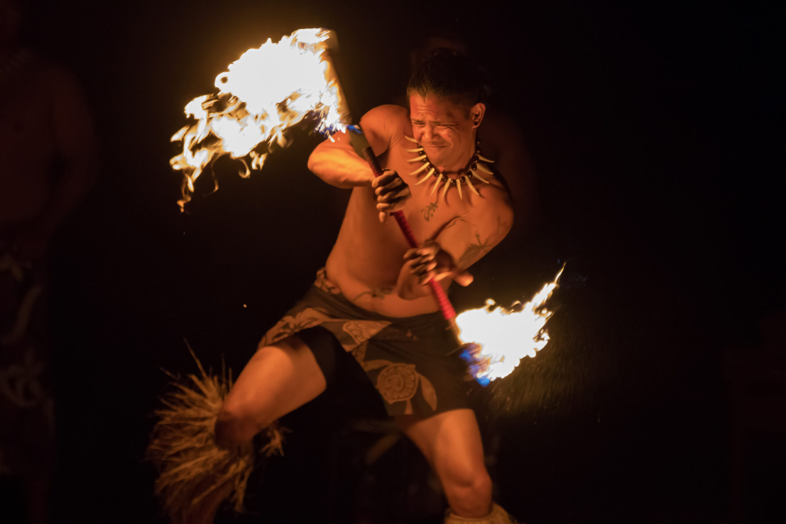
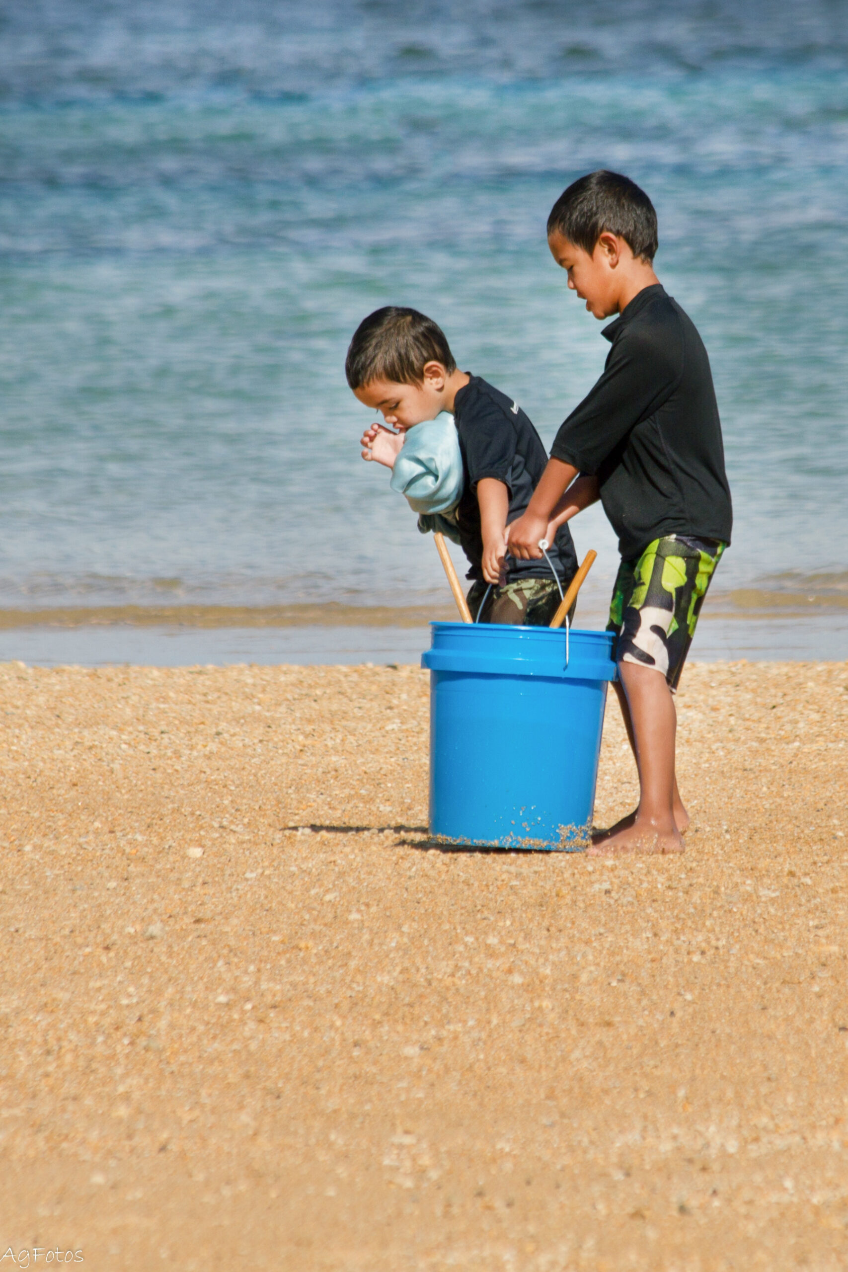
Sample Photos from Kauaʻi, HI

Kauaʻi, HI – Key Regions & Attractions
The Garden Isle

Poʻipu to Waimea, South Shore
Waimea Canyon & West Shore

Travelers' Map is loading...
If you see this after your page is loaded completely, leafletJS files are missing.
Travelers' Map is loading...
If you see this after your page is loaded completely, leafletJS files are missing.

Home » Destinations » North America » Kauai, HI